Cyclone Dovi: From the tropics to smashing NZ
- Earthling

- Feb 13, 2022
- 2 min read
Cyclone Dovi began its journey as a tropical depression named 92P on 5th February over the Coral Sea off the North Queensland coast.
Over the next 3 days the tropical depression moved eastward and eventually arrived near Vanuatu where conditions became favourable for development. On 9th February 92P was upgraded by the Joint Typhoon Warning Center to tropical storm 11P. Soon after Fiji Met Service named the storm Tropical cyclone Dovi.
On 10th February 10, Dovi continued to move south-southwest and passed through New Caledonia, where it became slow-moving and intensified into a category 2 system and then soon after became a Category 3 severe tropical cyclone, with 10-minute sustained winds of 65 knots (120 km/h; 75 mph).

At around 1:00 pm on 11th February, Cyclone Dovi moved into MetService's area of responsibility. Three hours later, MetService subsequently reported that cyclone reached to a category 4 system.
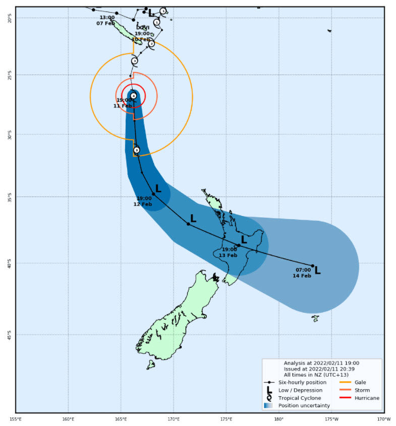
Dovi then commenced the transition to an extratropical cyclone over the course of the next 24 hours and passed to the west of Norfolk Island. On 12th February Dovi was an official extratropical cyclone and commenced moving south-east towards the North Island.
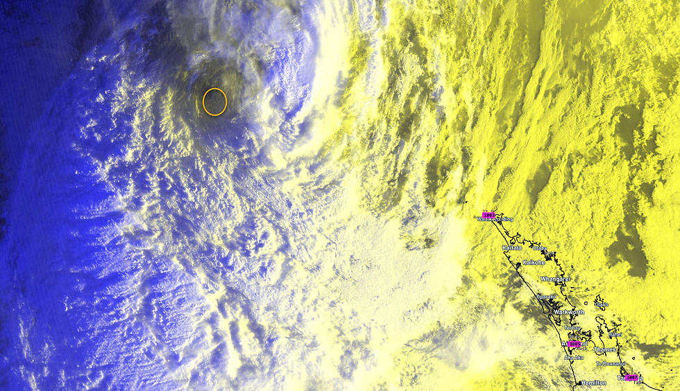
Late on 12th February the upper North Island started to feel the impacts with wind gusts of 144 km/h reported on the east coast of Northland at Okahu Island.
By morning on 13th February Dovi had moved to within 200 km west of Auckland, with a northerly wind gust recorded on Great Barrier Island of 175 km/h (95 knots / 45.8m/s).

Recorded live stream as Cyclone Dovi approached the North Island from Waitemata harbour, at the entrance of the gulf.
Dovi crossed the coast around the Waitomo district around 11am at 986 hPa with sustained winds of over 100 km/h, gusting to 160 km/h.
Top wind gusts recorded across the upper North Island
175 km/h Great Barrier Island
159 km/h Manukau Heads
156 km/h Helensville
151 km/h Cornwallis 144 km/h Okahu Island 144 km/h Clevedon 133 km/h Kaeo 128 km/h Mokohinau Islands 122 km/h Tukukaka
121 km/h Mahurangi 120 km/h Tiritiri lighthouse
119 km/h Slipper Island
117 km/h Bean Rock
Sources: Auckland Council, MetService
Damage across the Upper North Island related to uprooted and fallen trees including injured person, widespread power blackouts.
Disruption – Hundreds of cancelled flights, Auckland’s harbour bridge was closed at 9am for 5 hours and ferry’s cancelled.


Comments